-
 Butler Land Surveying, LLCRegistered inNY & PAAn experienced firm that
thrives on being thorough and dependable. -
 Professional Land SurveyorsPennsylvania and New York Registered
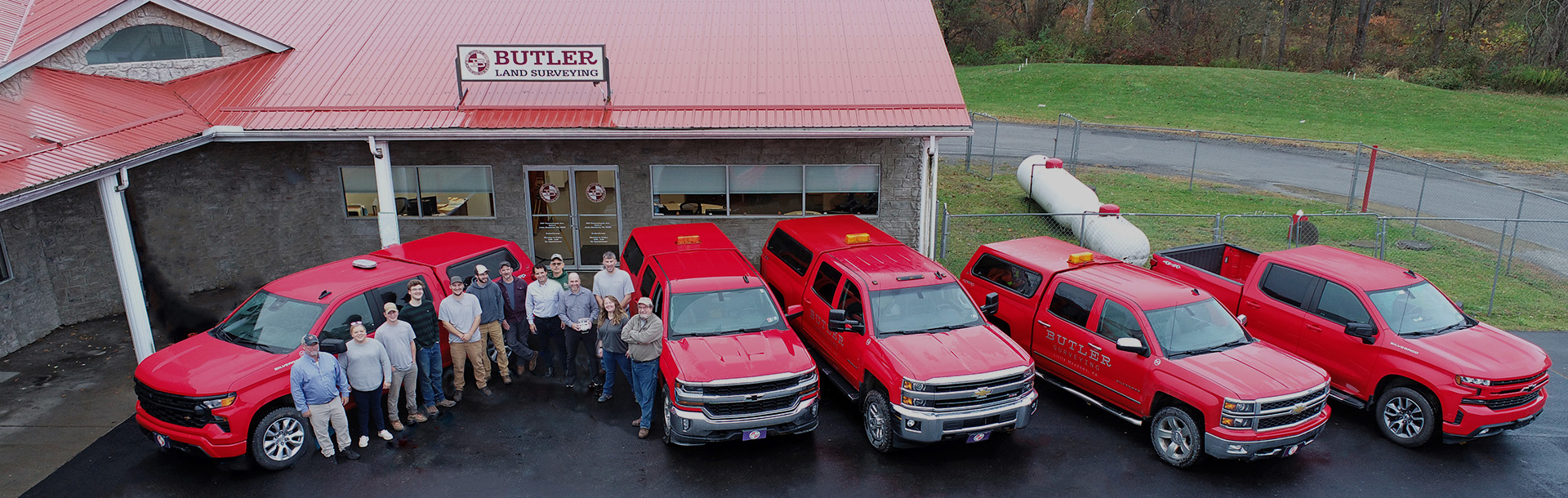
BLS provides professional land surveying to clients in southern New York and northern Pennsylvania.
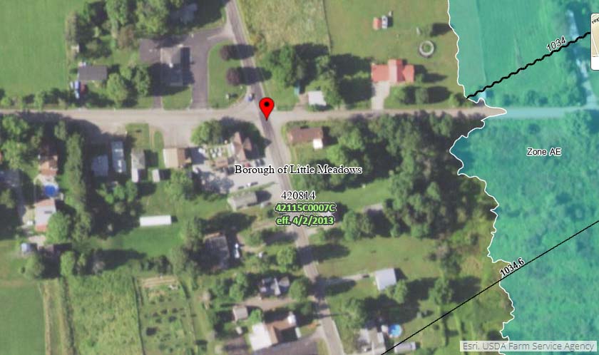
The office is located in Little Meadows, Susquehanna County, PA.
We’re proud to announce that Zachary Root, PLS is the new owner of Butler Land Surveying!
A lifelong resident of Columbia Crossroads in Bradford County, PA, Zach brings over a decade of land surveying experience and holds professional licenses in both Pennsylvania and New York. His deep local roots and strong professional background make him a perfect fit to carry on the tradition of excellence at Butler Land Surveying.
Under the leadership of former owner Scott Williams, our firm built a reputation for thorough, dependable, and professional surveying services. As Scott begins a well-deserved transition into his next chapter, we extend our heartfelt thanks for his 20+ years of dedicated service and leadership.
With Zach at the helm, we remain committed to delivering the same high-quality service our clients have come to expect.
We’re excited for this next chapter and look forward to continuing to serve the local communities with integrity and precision.
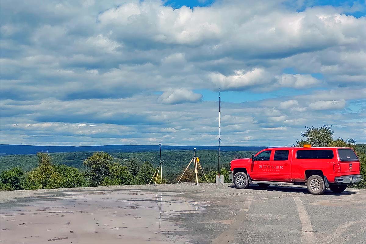

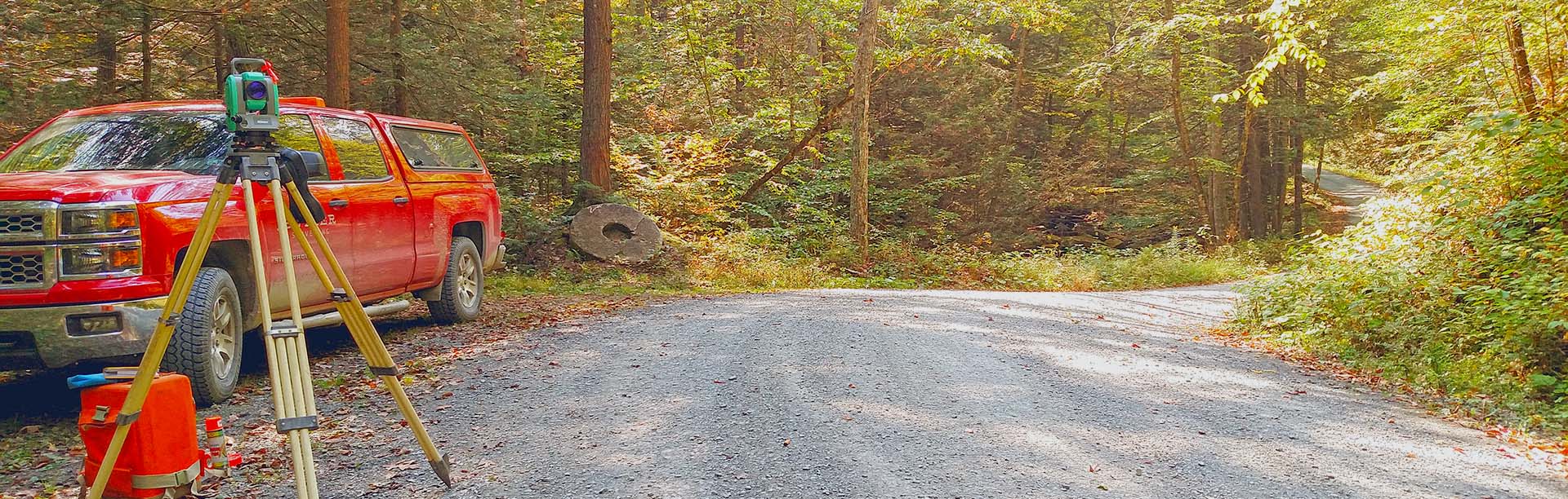
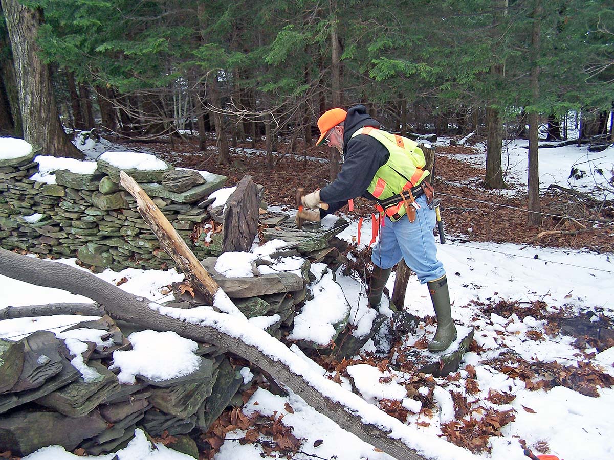
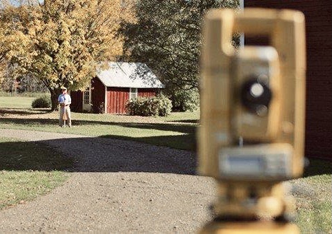
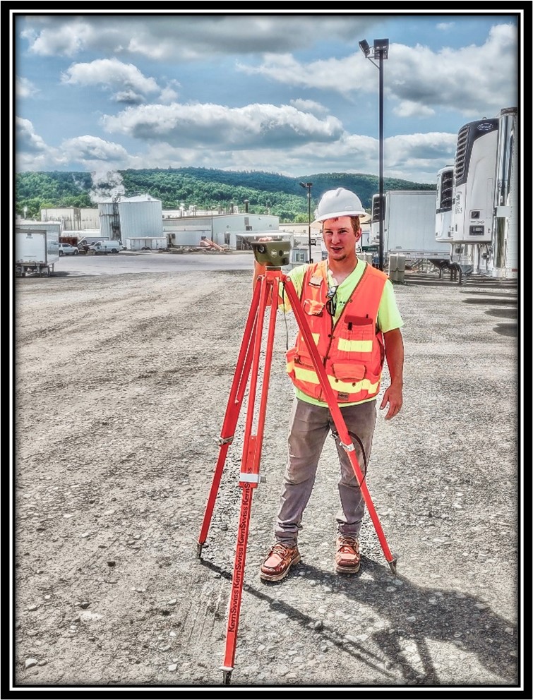
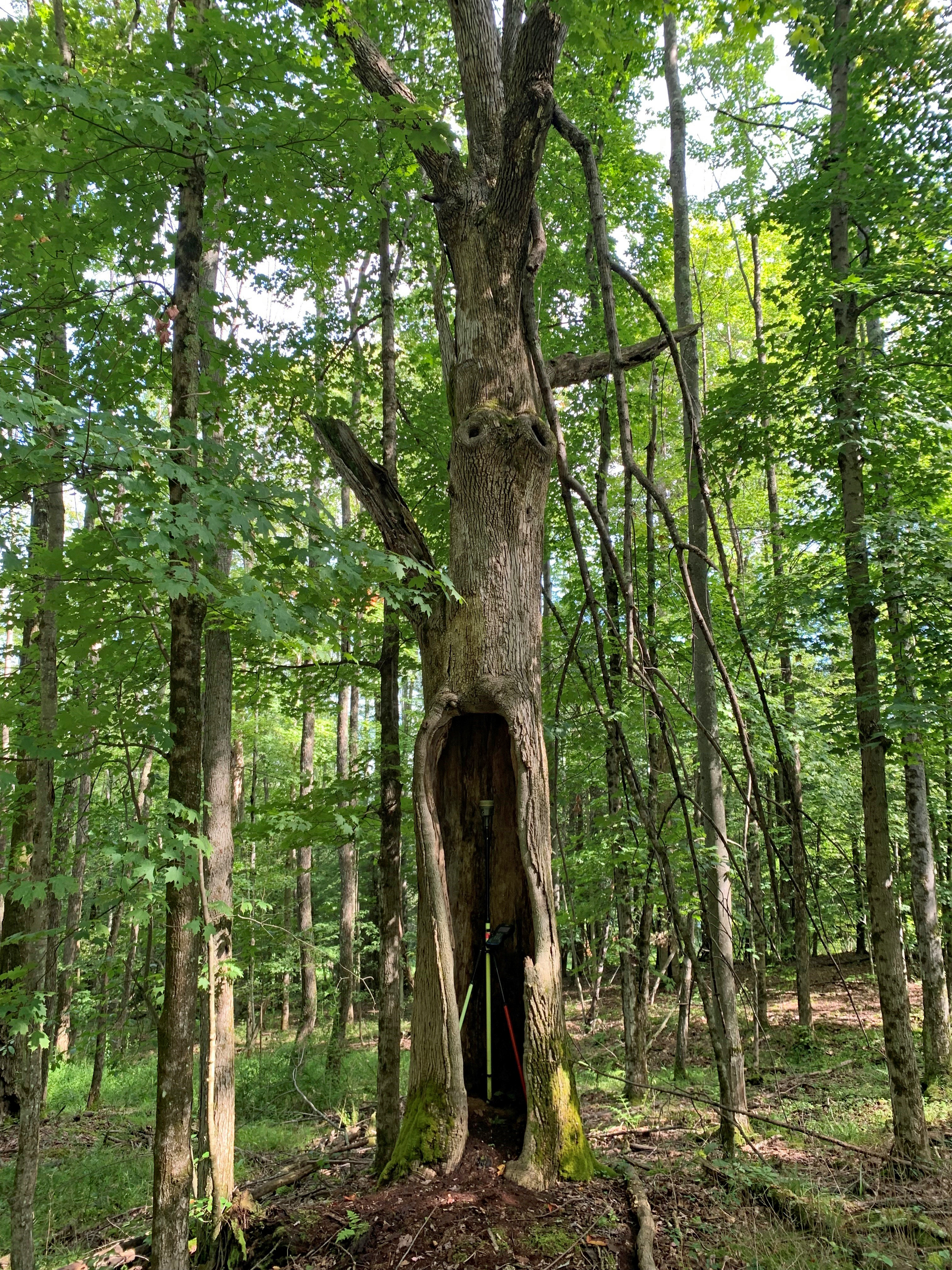
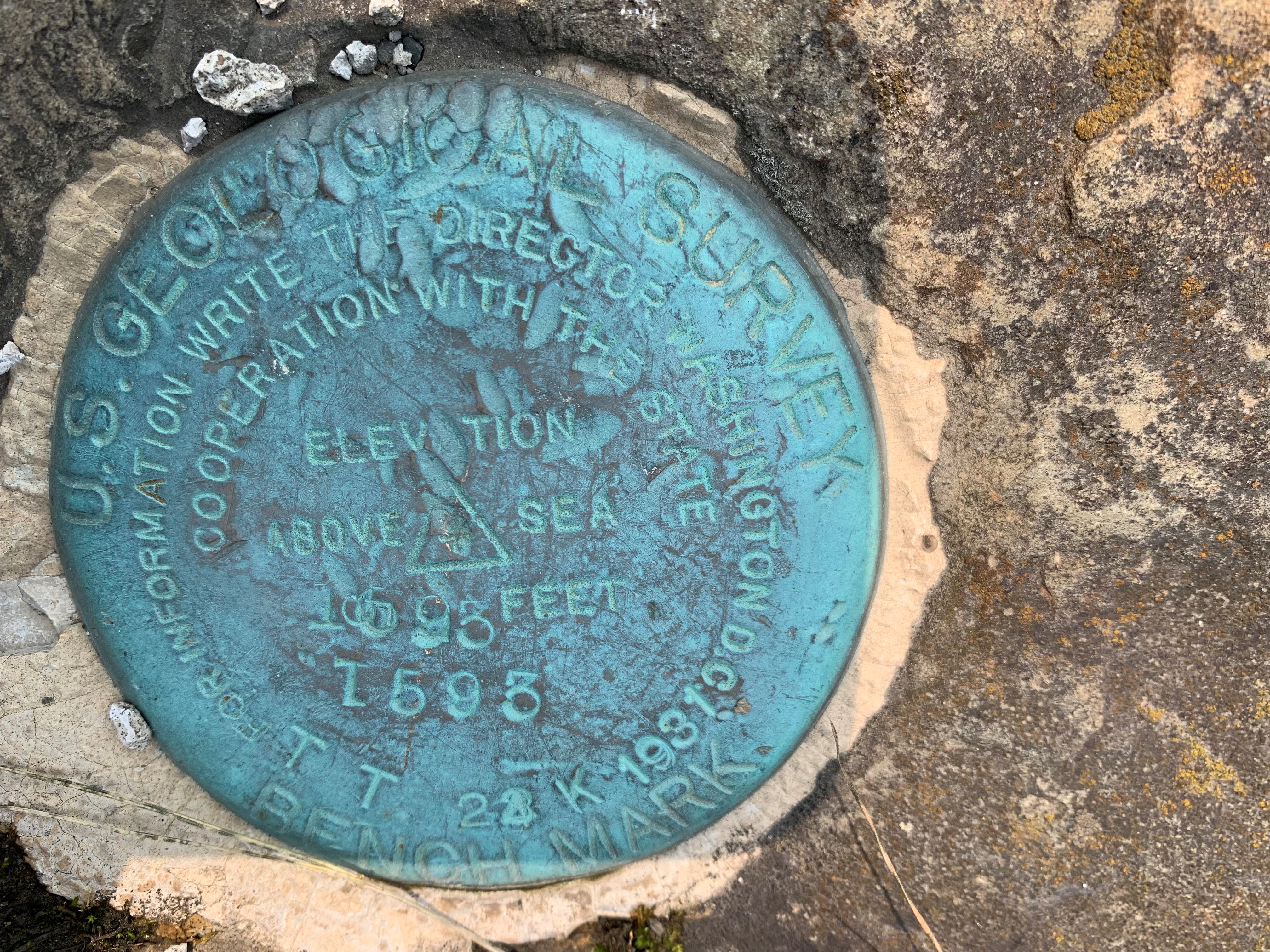
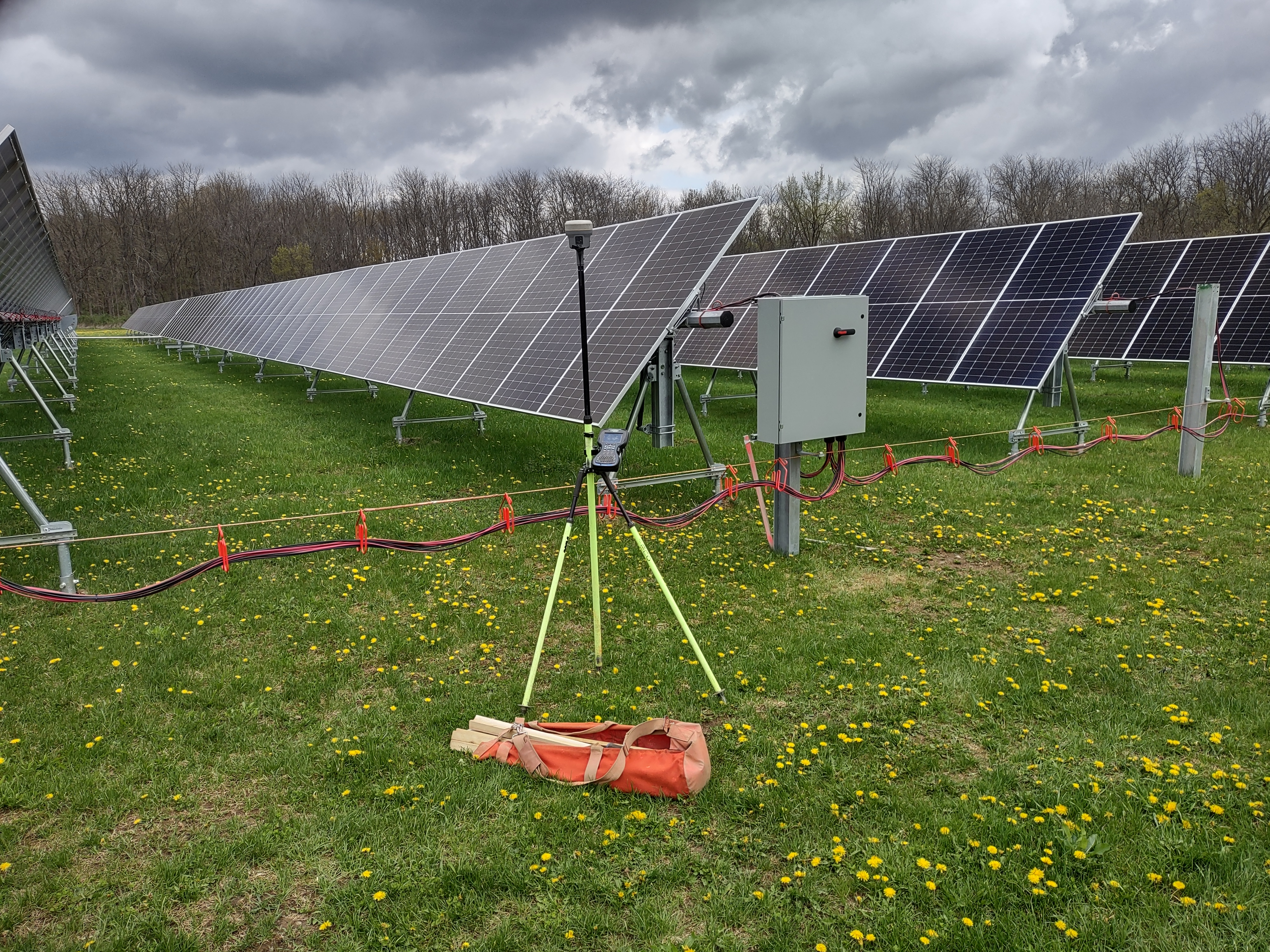
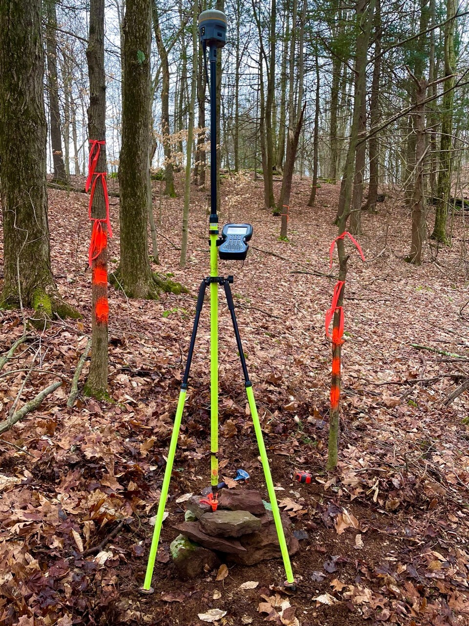
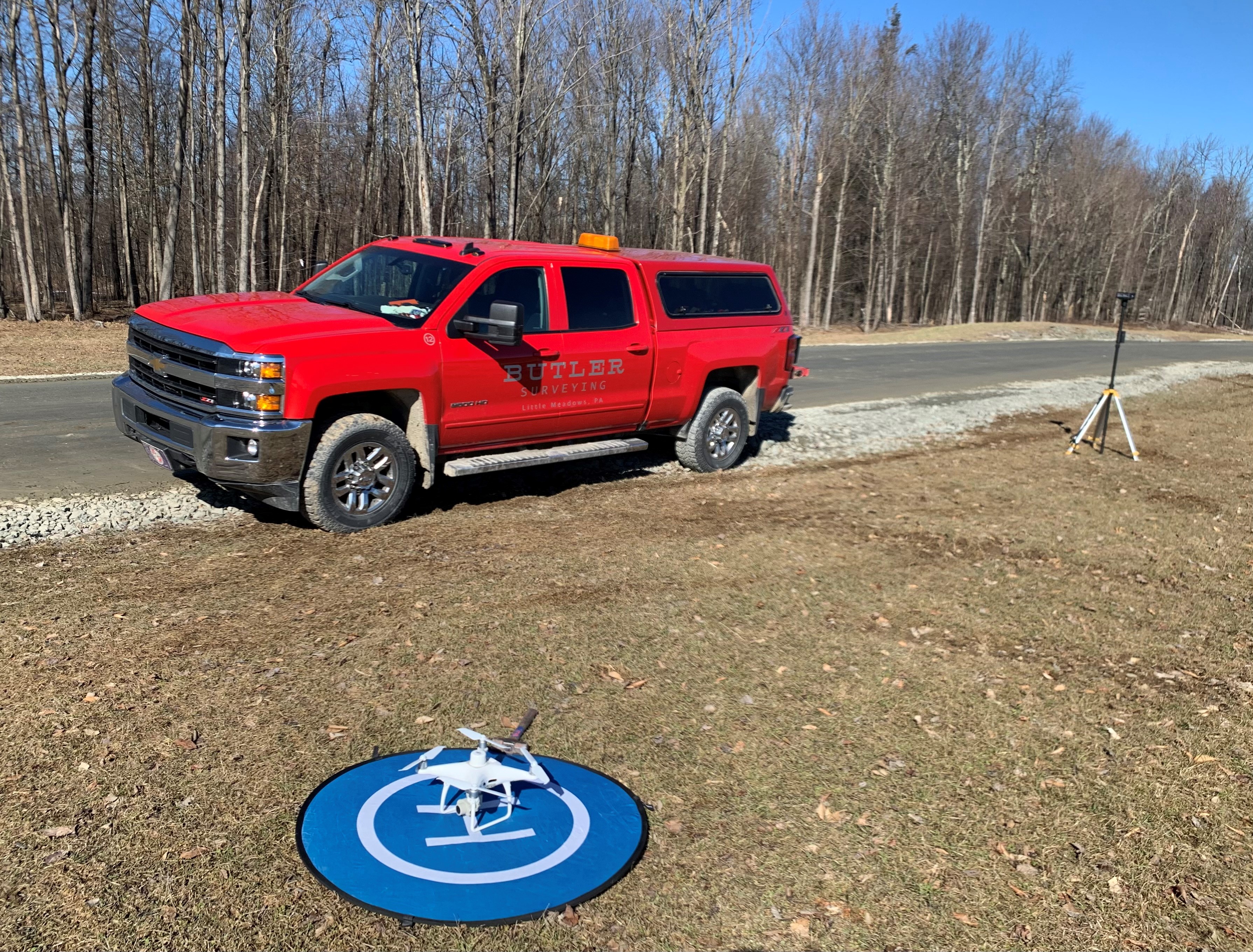
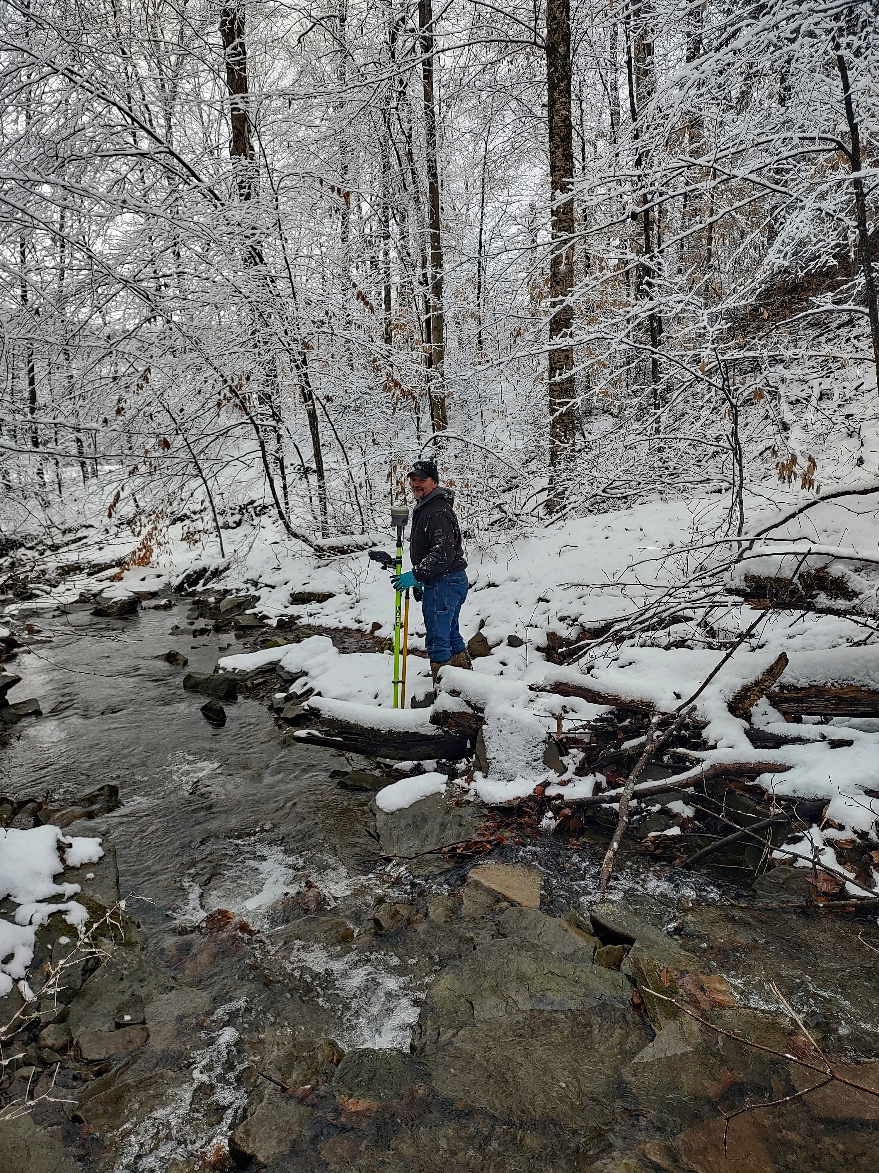
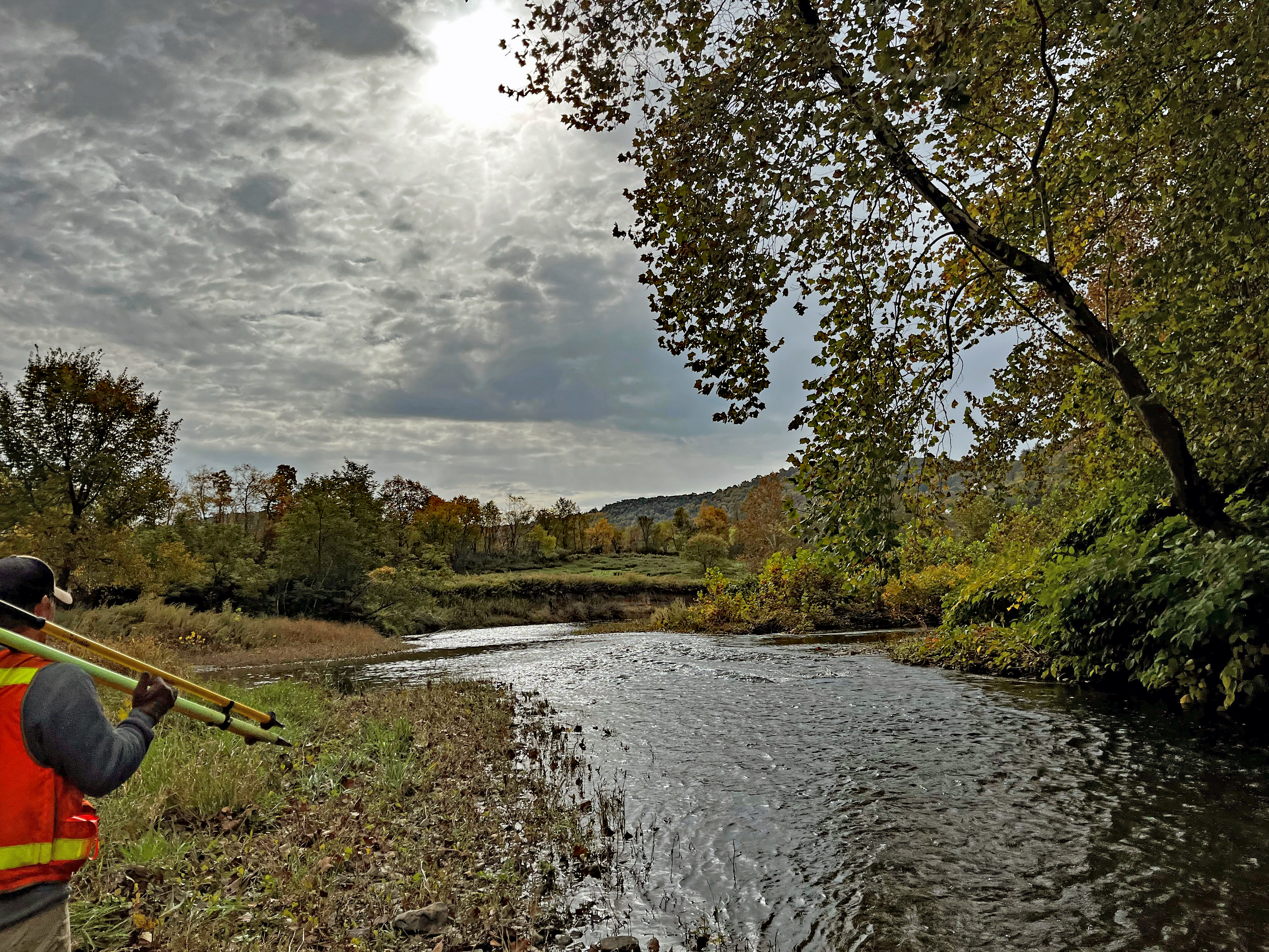
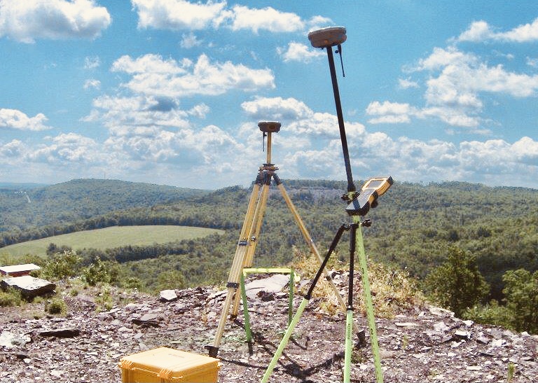
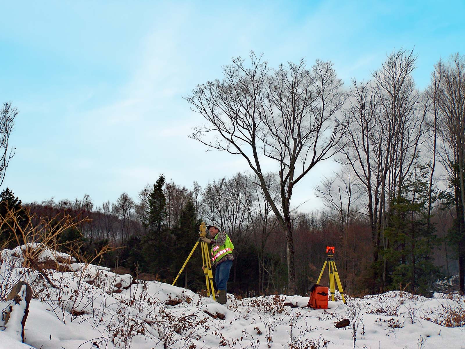
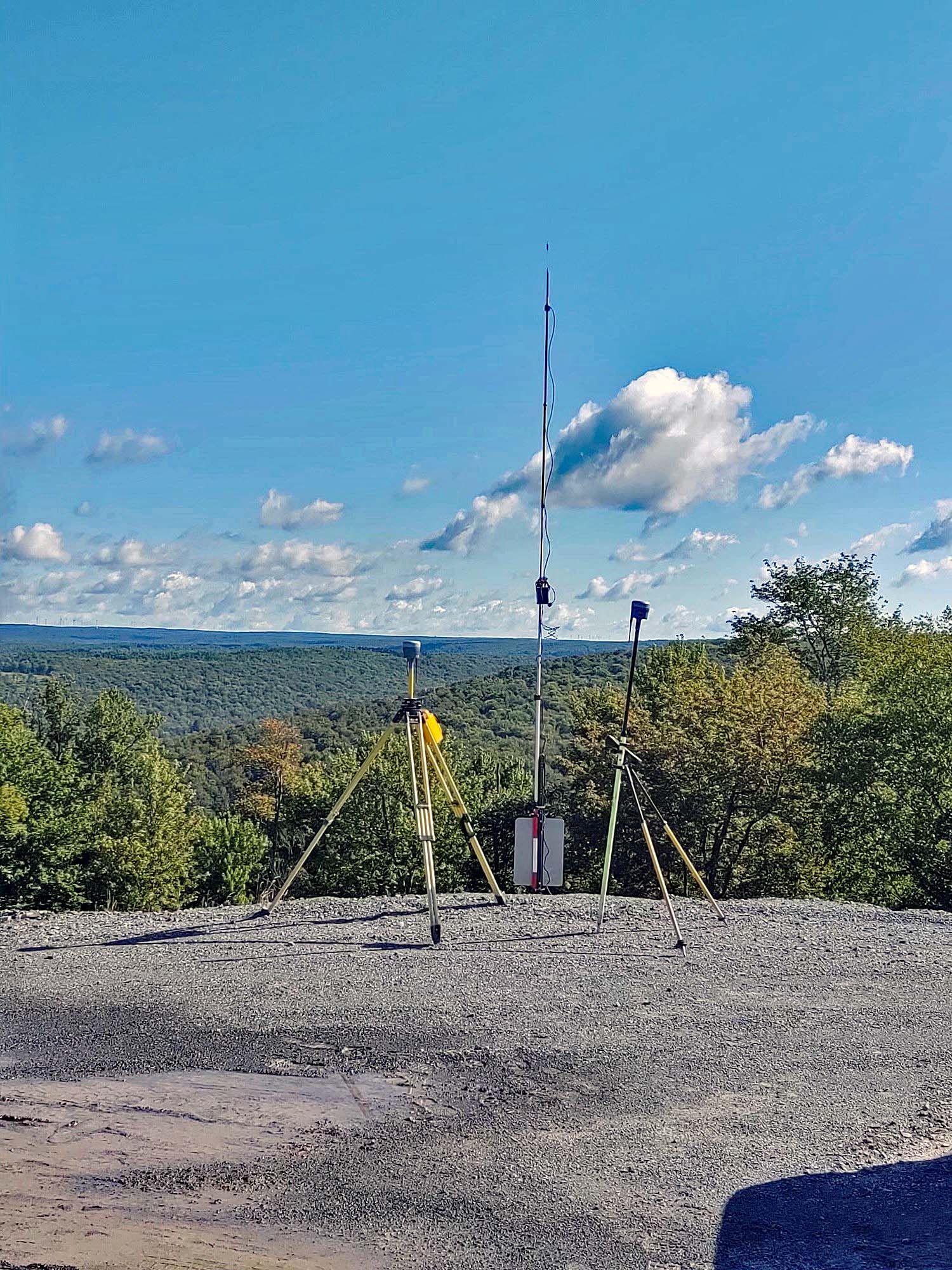
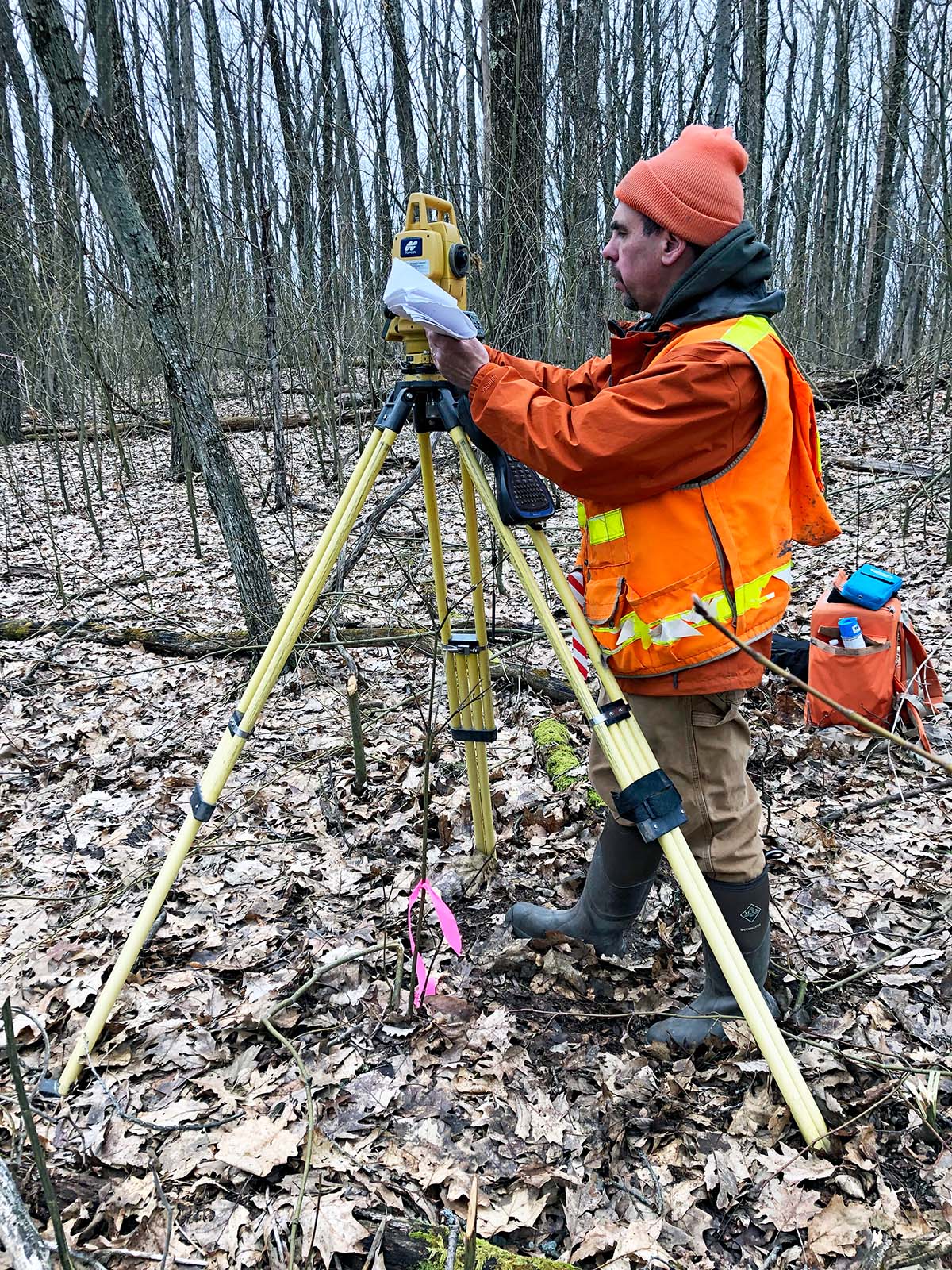
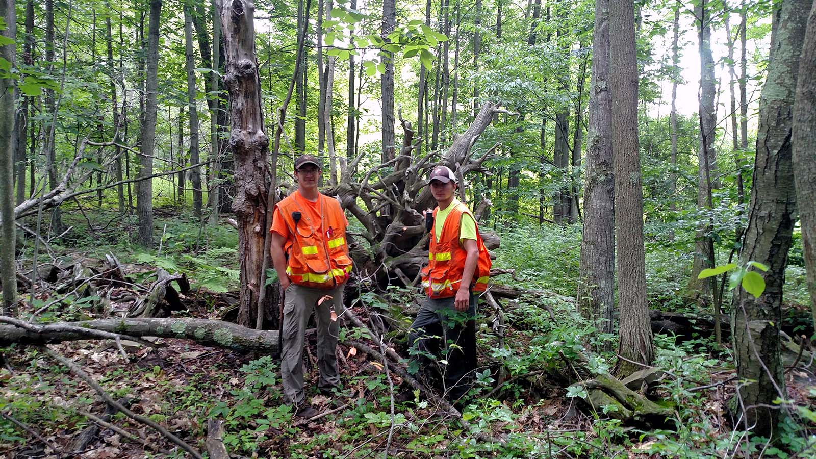
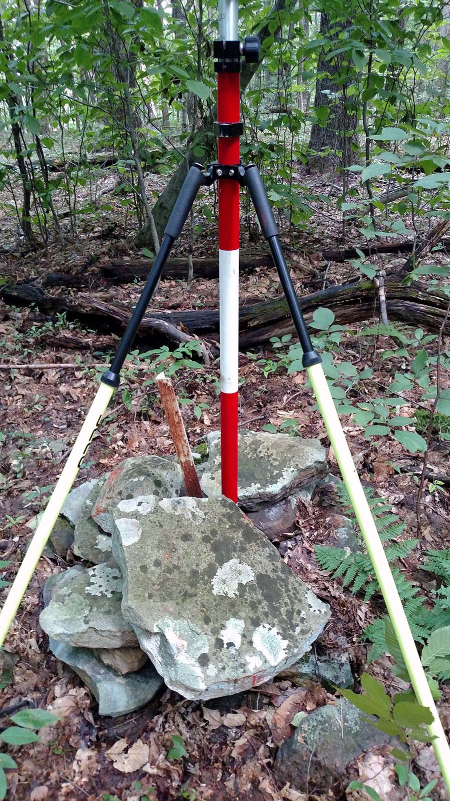
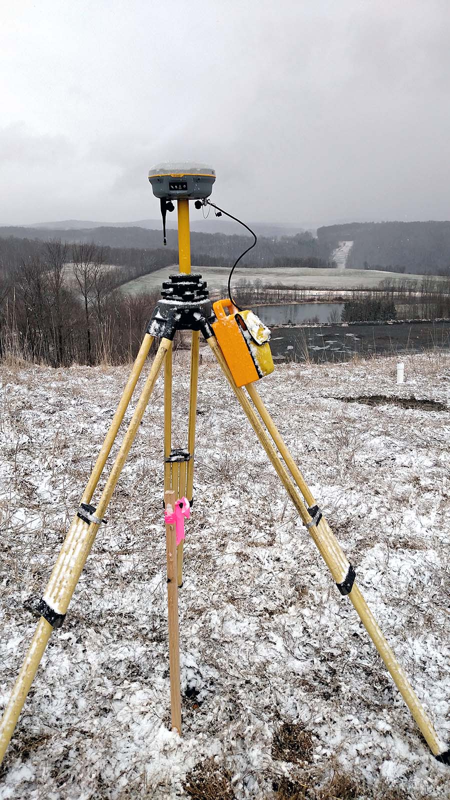
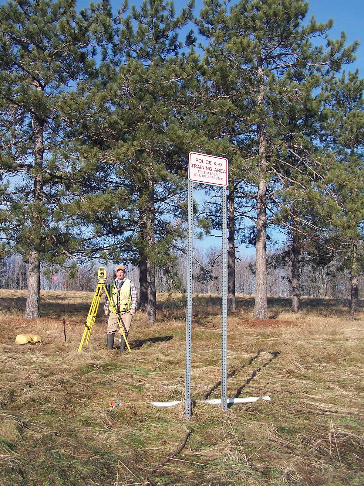
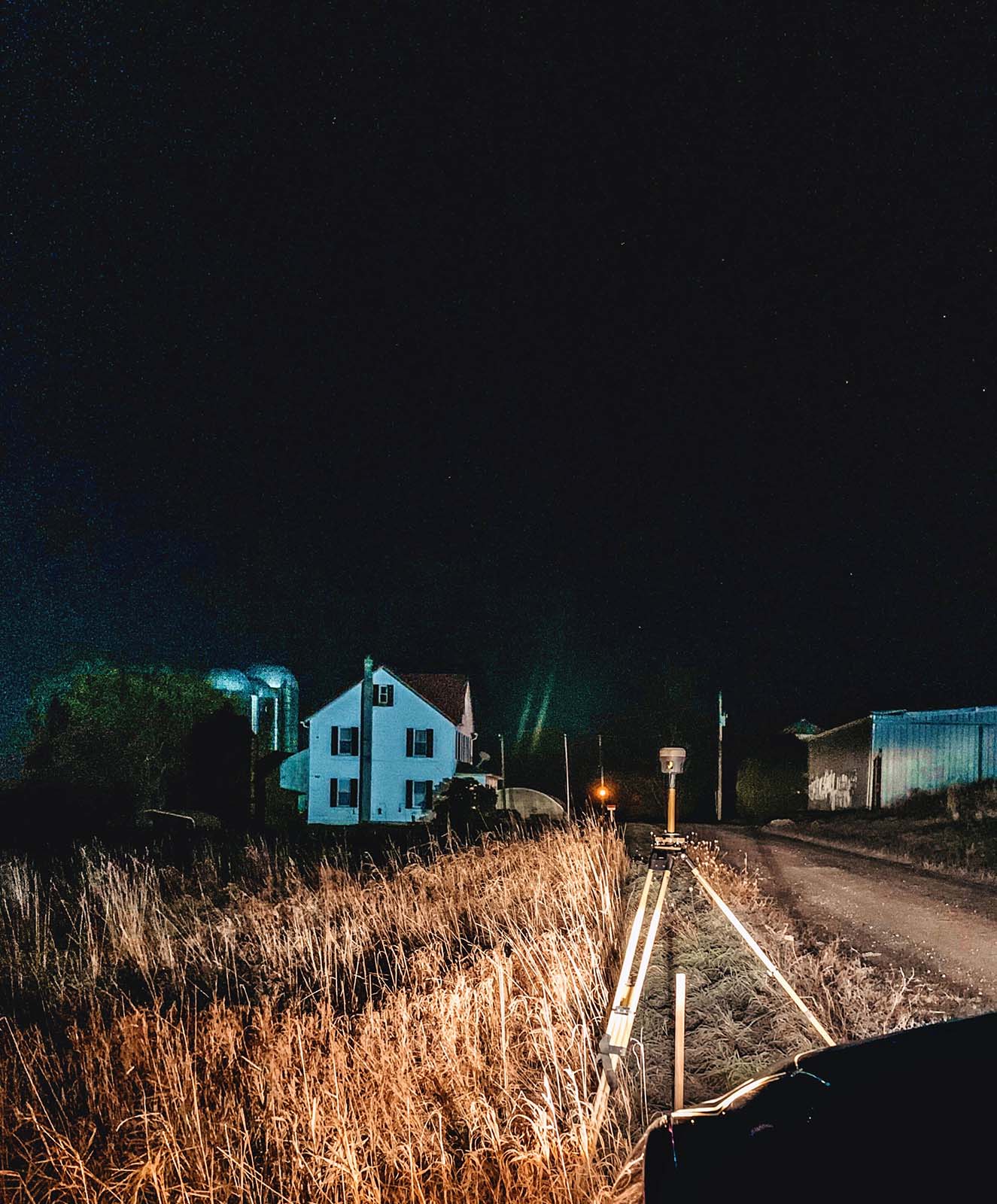
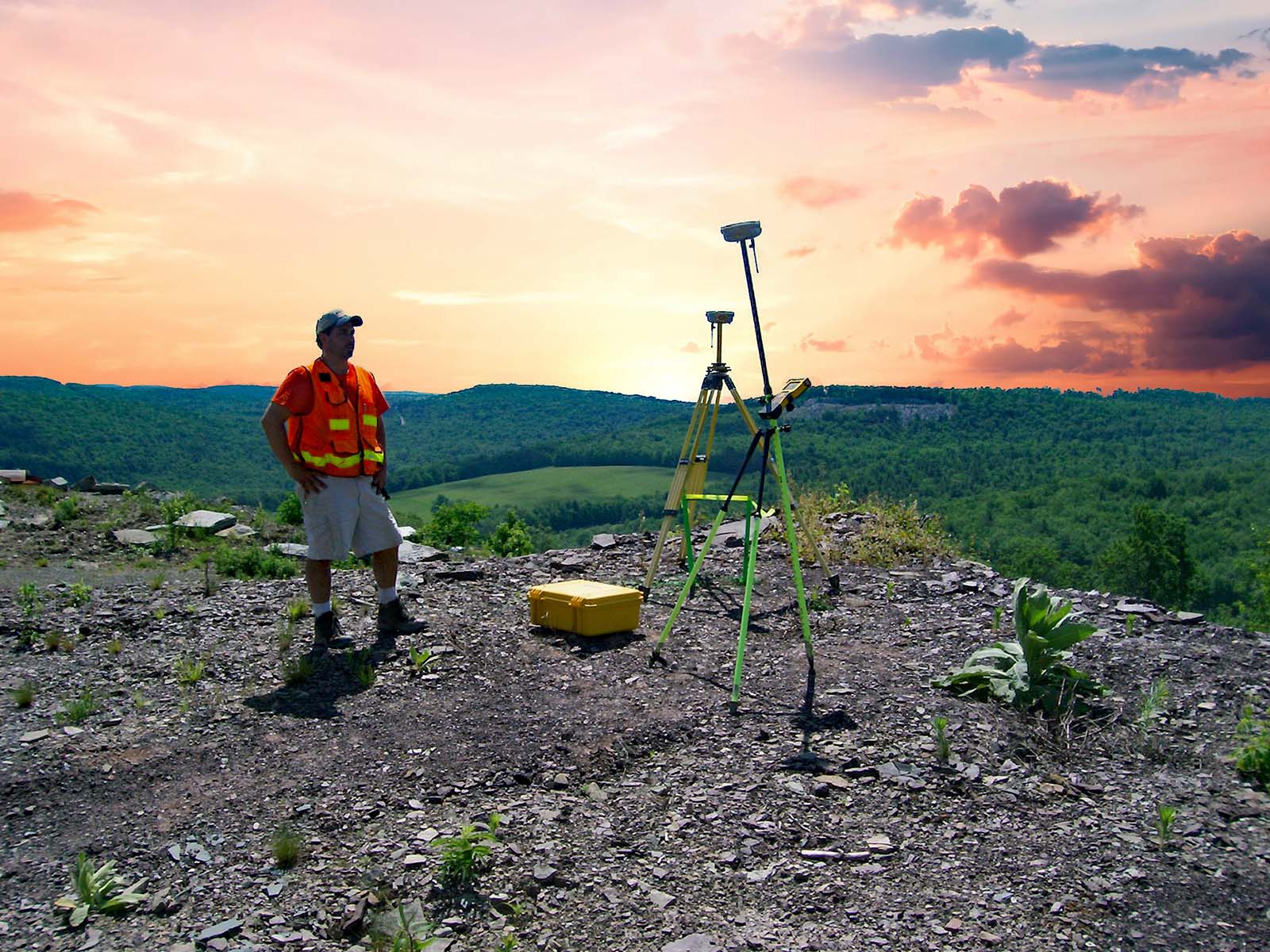
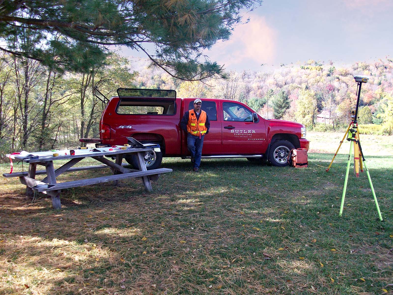
In the field, Butler Land Surveying (BLS) utilizes state-of-the-art technology. For GPS projects, BLS uses Trimble RTK receivers which allow ties to state plane coordinate datum. Conventional survey work is done using dependable Topcon electronic total stations connected to Windows based TDS Ranger data collectors. This link allows for data to be stored electronically through the TDS Survey Pro collection software. Field points are described and labeled for field-to-finish mapping in the office.
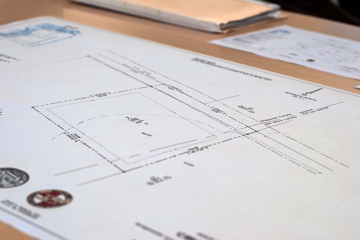
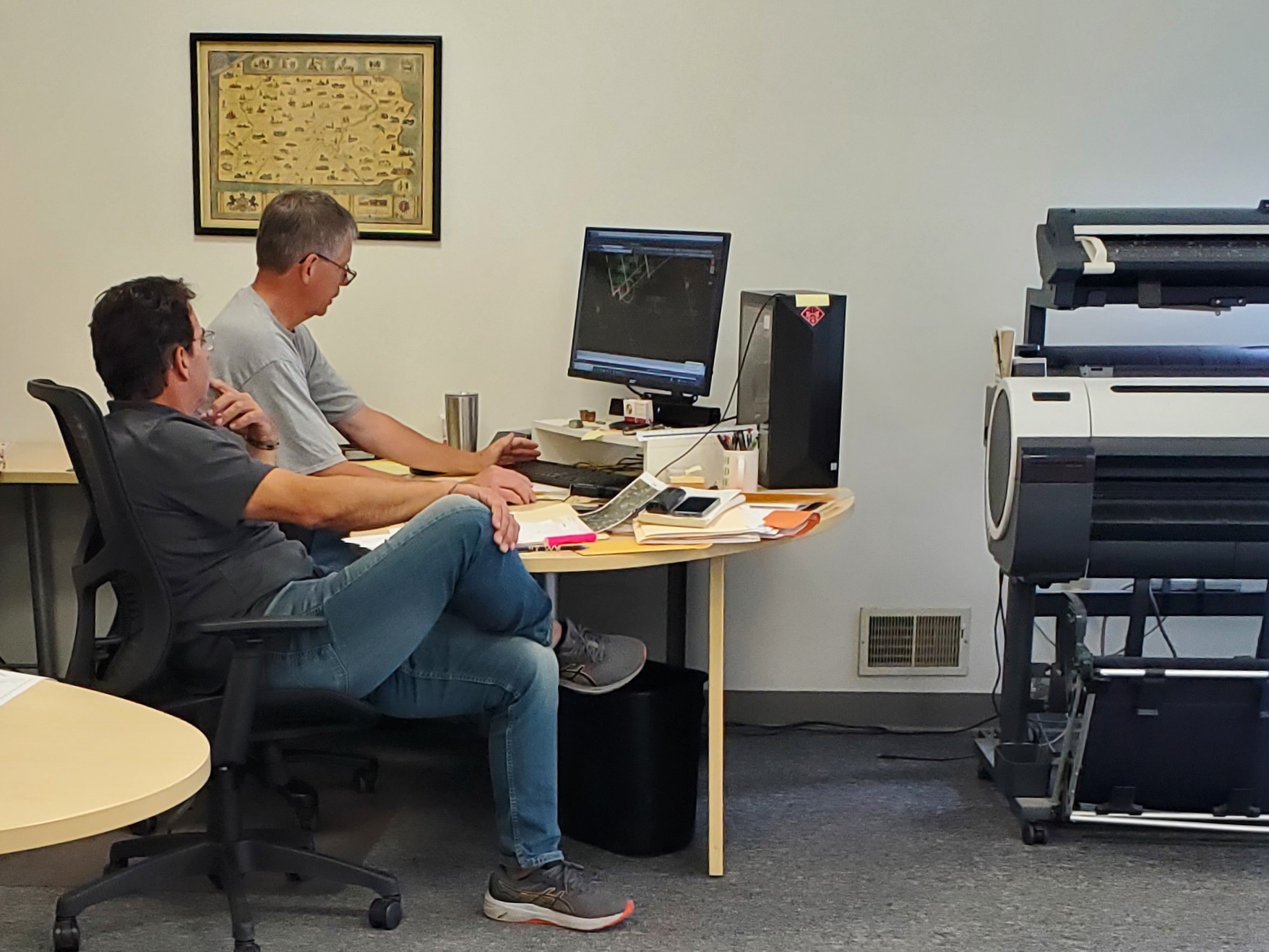
In the office, field data is downloaded directly into Carlson Survey mapping software. Field labels correspond to symbols in the CADD environment. Linear features such as roads and fences are drawn automatically. Finish mapping is in AutoCAD.
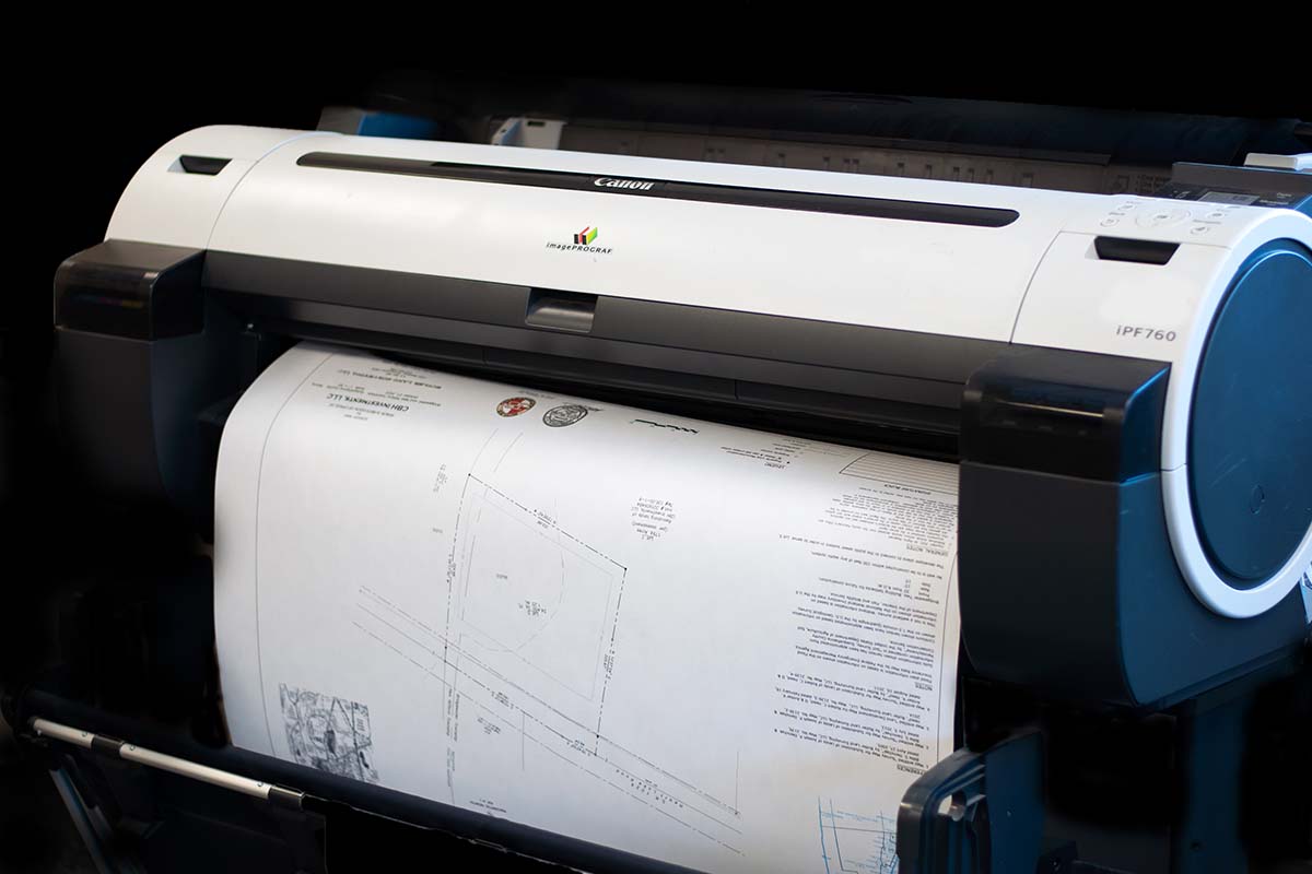
Large format scanning and plotting allows BLS to backdrop photos or plans into the final map for an enhanced vision of the site.

Zachary Root, PLS is the owner of Butler Land Surveying. Zach is a licensed land surveyor in Pennsylvania and New York State.

Brian has over 30 years of experience in land surveying as he started with John Butler, PLS in the early 1980’s.

Mark is a long-time resident of Warren Center, PA and attended Penn State University where he received an Associate Degree in Mechanical Engineering in 1984.

Patrick is a Licensed Land Surveyor in Pennsylvania and New York State and has been practicing since 1990.

Danielle joined the BLS staff in May 2021. She is from West Warren, PA and earned an Associate Degree in Management Information Systems in Binghamton, NY in 2007.
Zachary Root, PLS is the owner of Butler Land Surveying. Zach is a licensed land surveyor in Pennsylvania and New York State.

Brian Gardner, Senior Survey Tech has over 30 years of experience in land surveying as he started with John Butler, PLS in the early 1980’s. Brian has an Associate Degree in Mechanical Engineering Technology from Broome Community College. A long-standing employee, Brian is known for cornucopia of knowledge of regional history and property title. He also serves on a local township planning commission.

Mark Wheaton, Senior Survey Tech is a long-time resident of Warren Center, PA and attended Penn State University where he received an Associate Degree in Mechanical Engineering in 1984. He joined the BLS staff in 2006 and specializes in technical calculations and construction surveying. In addition, Mark serves as a local township supervisor.

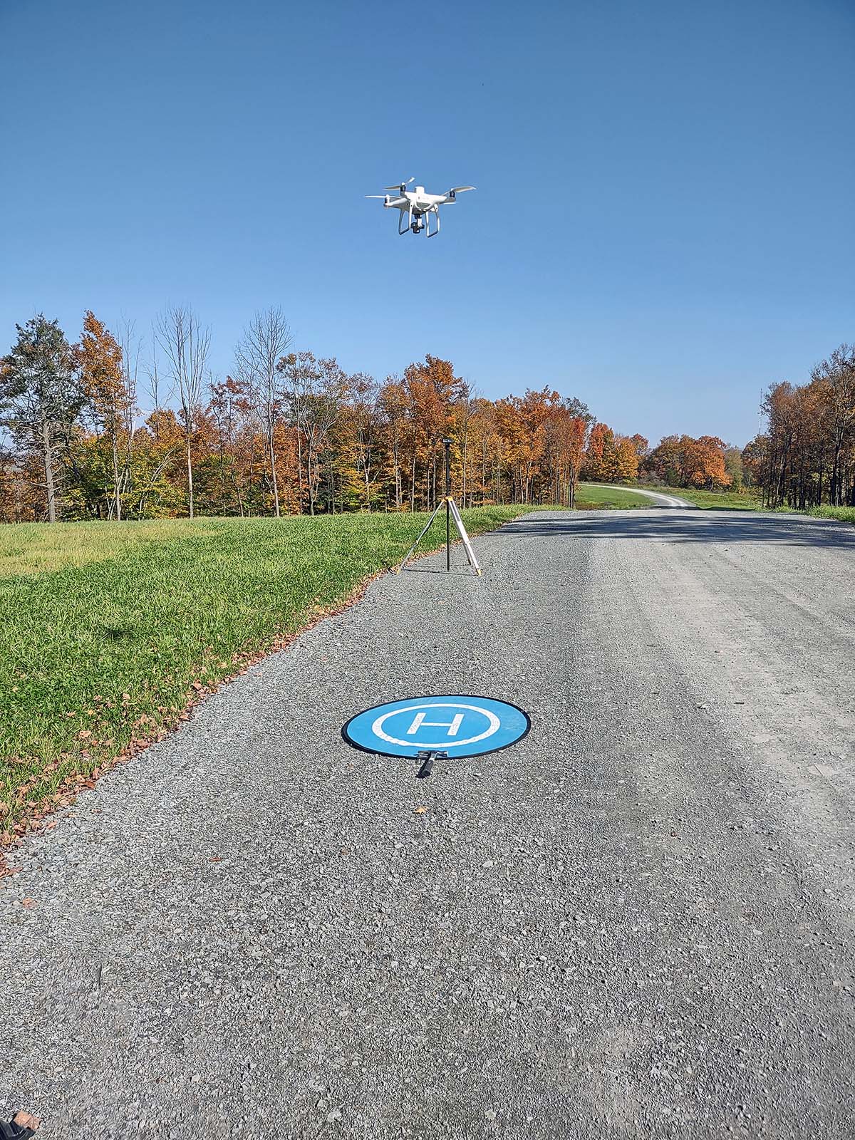
Patrick Grimes, PLS is a Licensed Land Surveyor in Pennsylvania and New York State and has been practicing since 1990. He is originally from Wysox, PA and attended Penn State University where he received an Associate Degree in Surveying Engineering Technology in 1992. Patrick joined the BLS staff in 2017 where he currently specializes in all facets in land surveying. Patrick is a FAA licensed drone pilot and manages the aerial mapping projects on a variety of sites.

Danielle Johnson, Director of First Impressions joined the BLS staff in May 2021. She is from West Warren, PA and earned an Associate Degree in Management Information Systems in Binghamton, NY in 2007. Danielle offers a smile to our customers and provides complete customer service with a touch of creativity. She assists with all administrative duties and client contact.


BLS provides professional land surveying to clients in southern New York and northern Pennsylvania.
In order to identify the location of a parcel boundary a landowner should have a boundary survey completed.
To perform a boundary survey of a property, Butler Land Surveying (BLS) will typically perform the following tasks:
In order to divide land into smaller tracts a landowner must submit a subdivision map to the local government for approval. Map requirements and subdivision processes differ depending upon the municipality.
To perform a subdivision of your property, BLS will typically perform the following tasks:
A topographic survey is often needed when substantial construction is planned for a site. Generally, this survey work is done in close coordination with a Professional Engineer, Architect or Landscape Architect who is designing the new facilities.
To perform a topographic survey of your property, BLS will typically perform the following tasks:

The Federal Emergency Management Agency (FEMA) may require homeowners to submit an Elevation Certificate as part of an application process to review flood insurance requirements. Elevation Certificates may also be required for building permits.
To prepare an Elevation Certificate for certain areas, BLS measures the house elevation relative to a known benchmark.
The completed Elevation Certificate reflects the floor elevation of the home and signed and sealed by the Licensed Land Surveyor.
Prior to construction, contractors often need critical points laid out using precise measurements. These points may be building corners or grade stakes for earthwork excavation.
To perform construction layout services, BLS will typically pre-compute the position of the features relative to established control points at the site. Then the field crew sets stakes and hubs to allow the contractor to begin construction.

With the recent development of the Marcellus gas play, Butler Land Surveying has prepared hundreds of well plats for the permitting process. Field surveys using GPS are conducted to obtain a latitude and longitude of the proposed well. Additional features such as property corners and access roads are also located. Using the PADEP format, a well location plat is prepared showing the result of the survey.
Other Development Services Include:
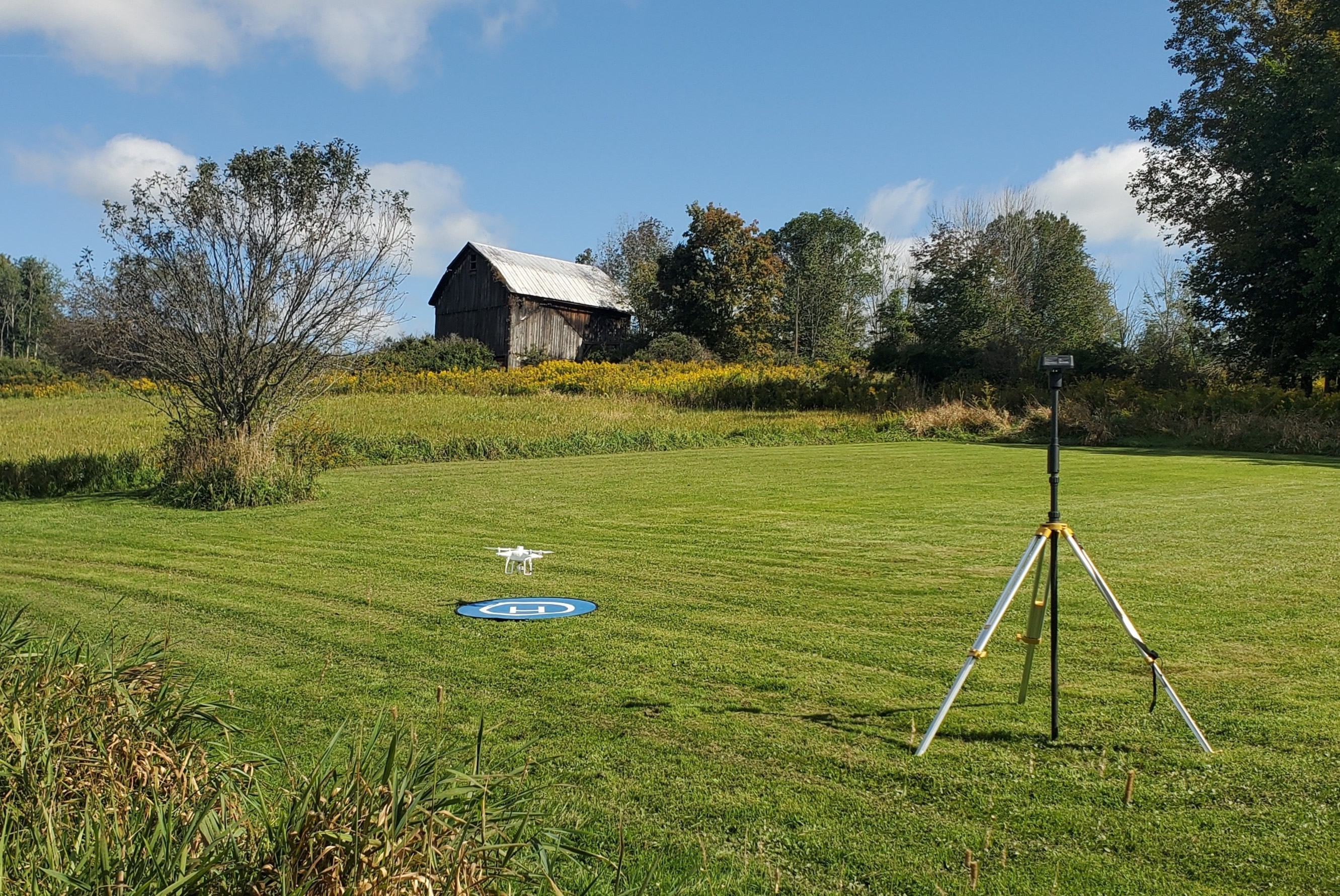
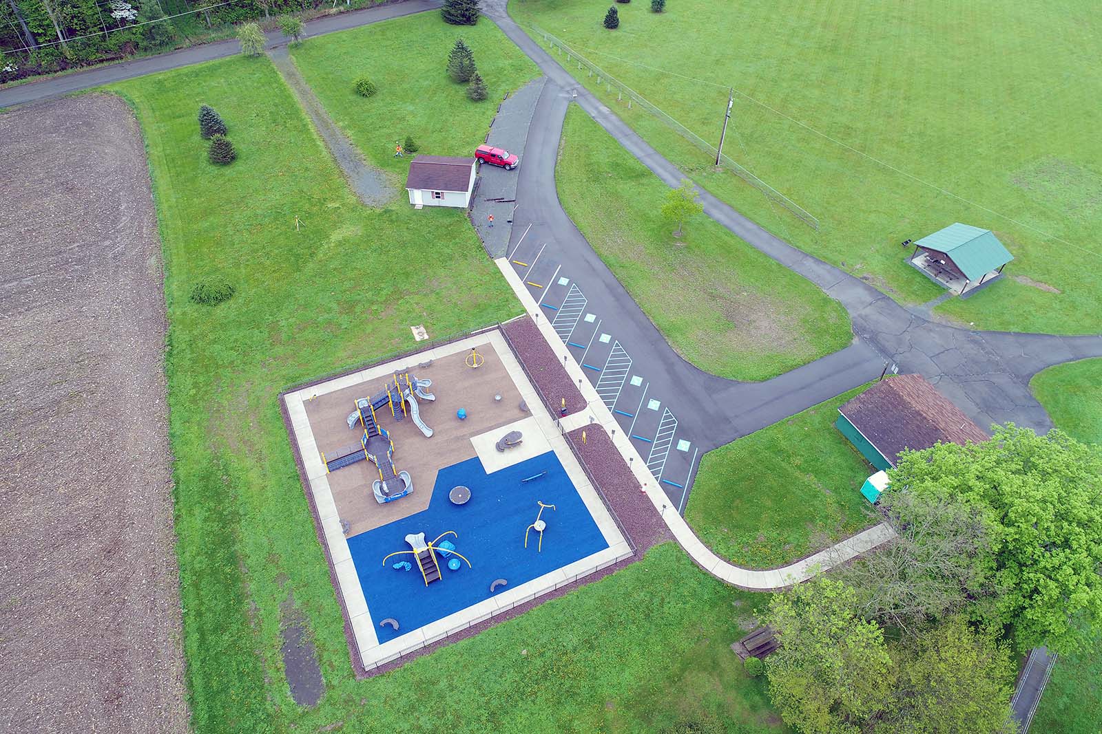
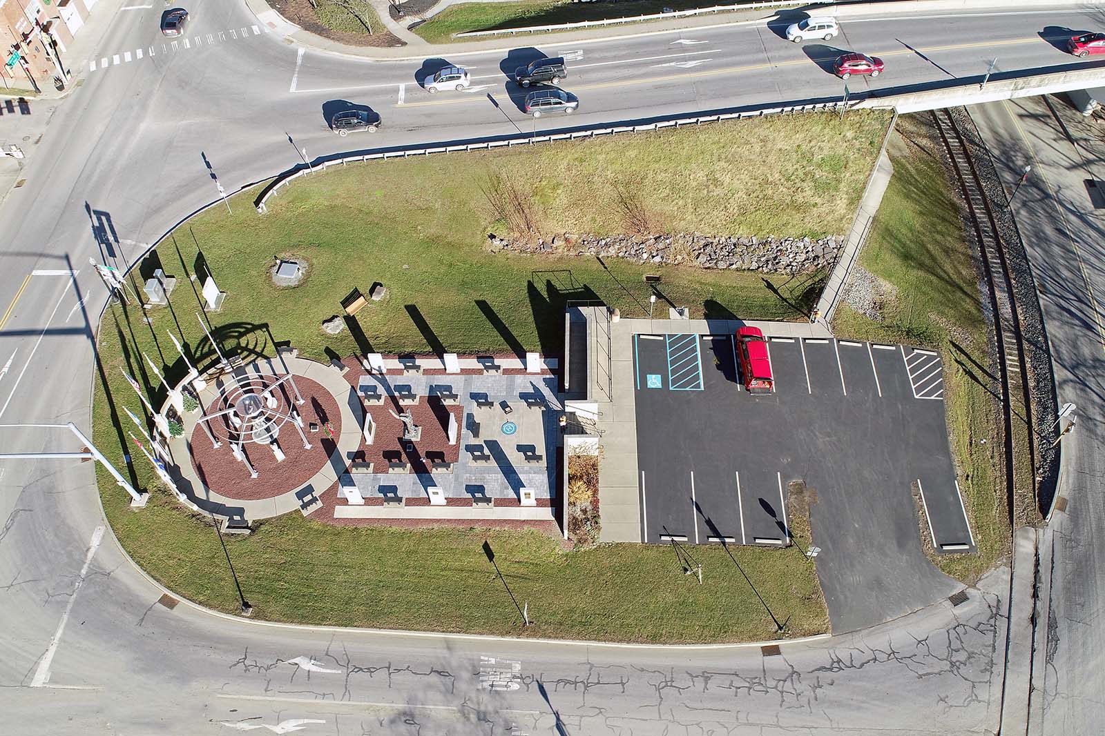
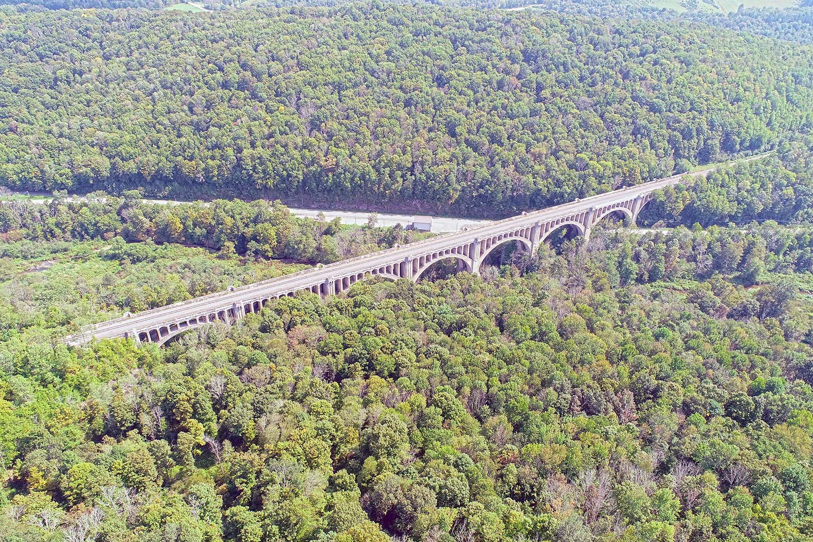
The advancement of drone technology has made it possible for surveyors to map large areas quickly and inexpensively, providing key data that helps expedite workflows in a variety of commercial settings. For aerial mapping, drones are perfect. Drones provide repeatable, accurate flights for near-ground mapping. The combination of today's high-resolution cameras and LiDAR devices enables mapping at levels of detail never imagined. From the data, the surveyor produces 3D maps, models, and other outputs, such as orthomosaic photographs. It can be especially useful for creating maps of hard-to-reach or hazardous locations, minimizing the need for the area to be walked on foot and thereby increasing safety.


Get an estimate on a current project, use our convenient on-line form!


We are currently hiring a Survey Party Chief - HERE for the job description.